
The surface survey
The initial phase of the fieldwork involved the collaboration of archaeologists, topographers, geologists and Hittitologists with the aim of reconstructing the physical, settlement and historical landscape of the area under study. Extensive research carried out in the cultivated fields, pastures, hills and along the streams within a radius of roughly 5km from Uşaklı, enabled us to gather information relating to the geomorphology of the area, usage of the land and routes as well as to draw up detailed maps to be used during the archaeological survey. Apart from Uşaklı, which is the largest site in the area studied, a further two sites on small hills were identified, one dating to between the Late Chalcolithic and the start of the Early Bronze Age, the other to the Late Roman/Byzantine period. Little evidence was found, instead, of satellite settlements for the period between the end of the 3rd and start of the 1st millennia B.C.
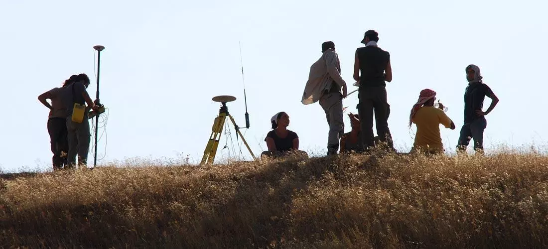
The results of geophysical prospecting and the collecting of geo-referenced materials on the site of Uşaklı, with the removal of surface soil from the slopes of the small mound, enabled us to reconstruct the settlement sequence and to identify those areas in which the different periods would seem to be best represented. In particular, the systematic collection of materials related to the main topographical units resulted in a map showing the distribution of different categories of finds. Where it has been possible to determine firm typologies for artefacts on the basis on comparison with stratified contexts brought to light at other sites, we can extrapolate more precise information concerning their chronology or function or relating to processes of accumulation. In particular, the distribution pattern of pottery classes and types, as well as that of other kinds of finds such as tiles, proved useful in determining an initial location of the areas with a greater concentration of elements that can be dated, if roughly, to the same period and, consequently, the development and extent of the various phases of settlement on the site. This work prepared the way for determining where to begin excavating.