The landscape
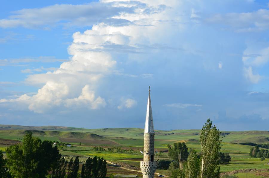
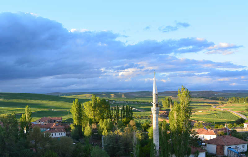
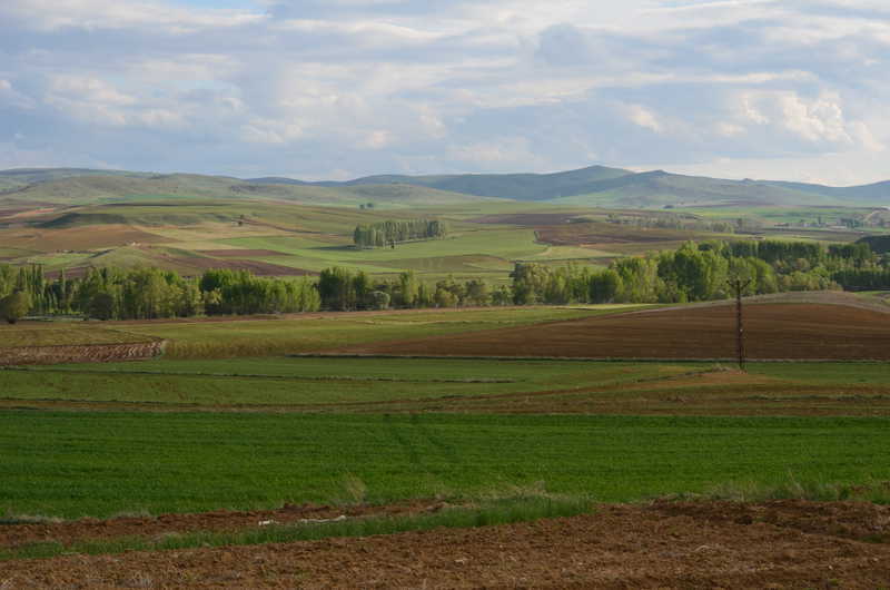
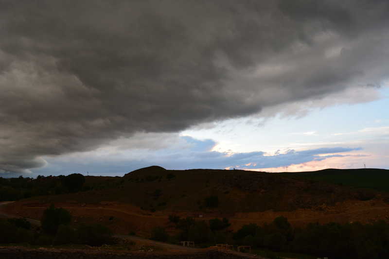
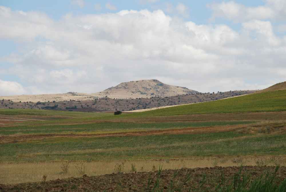
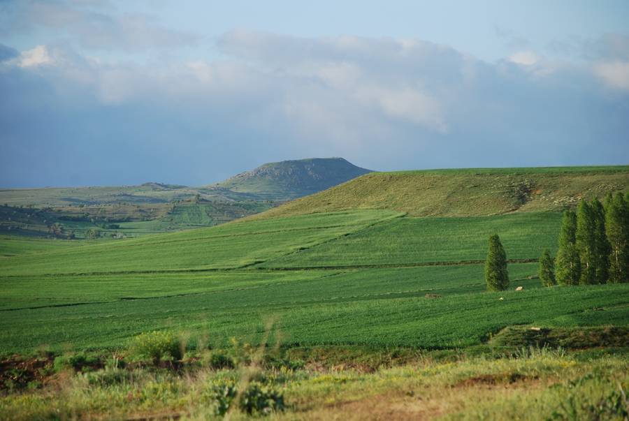
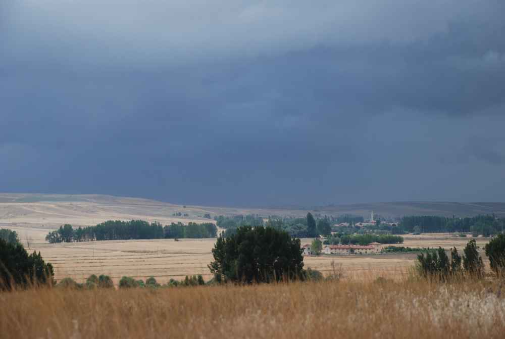
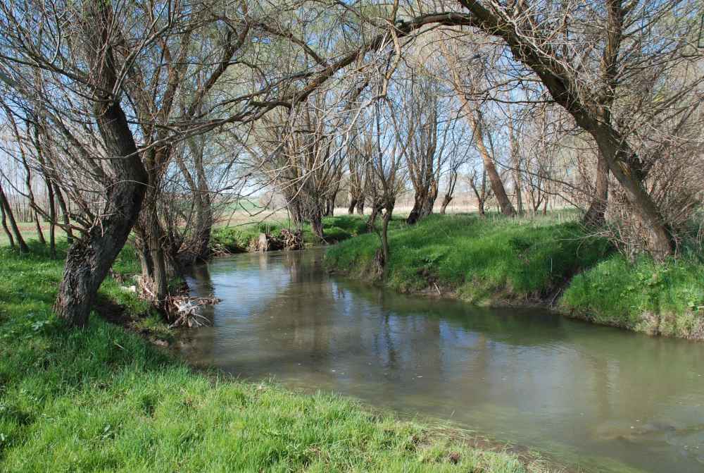
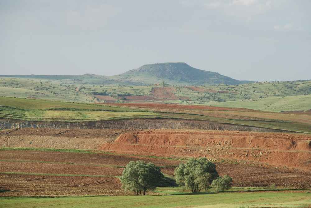
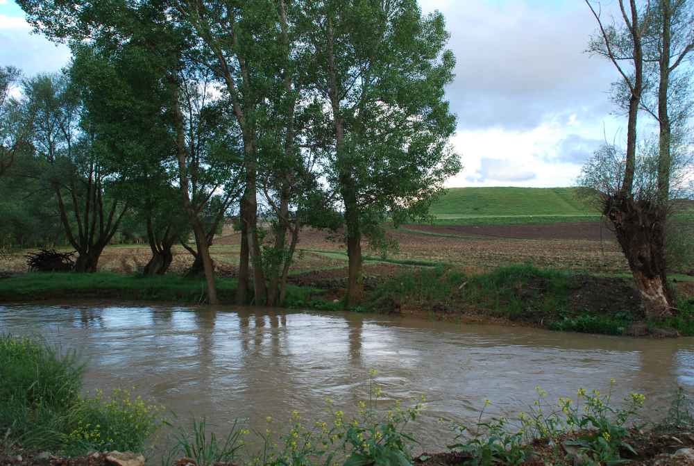
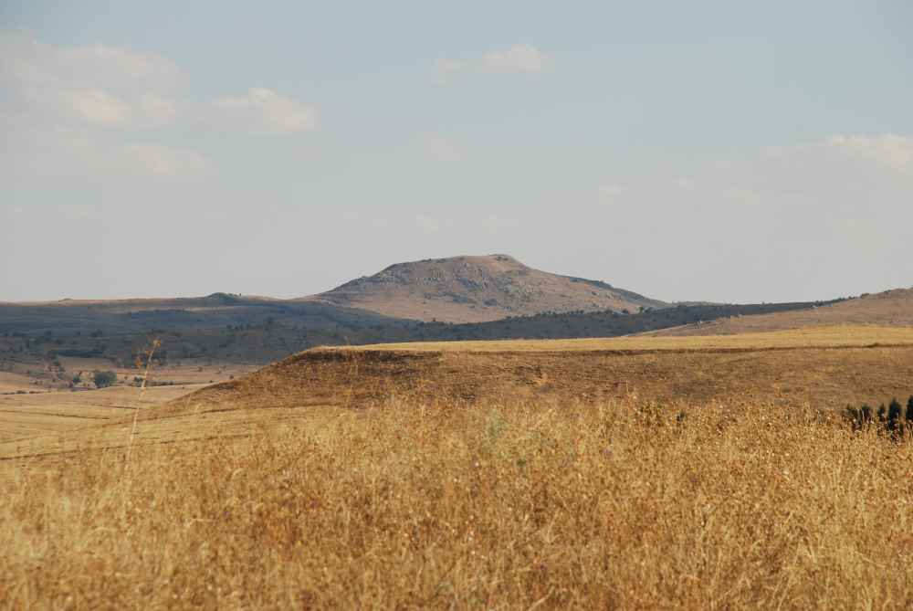
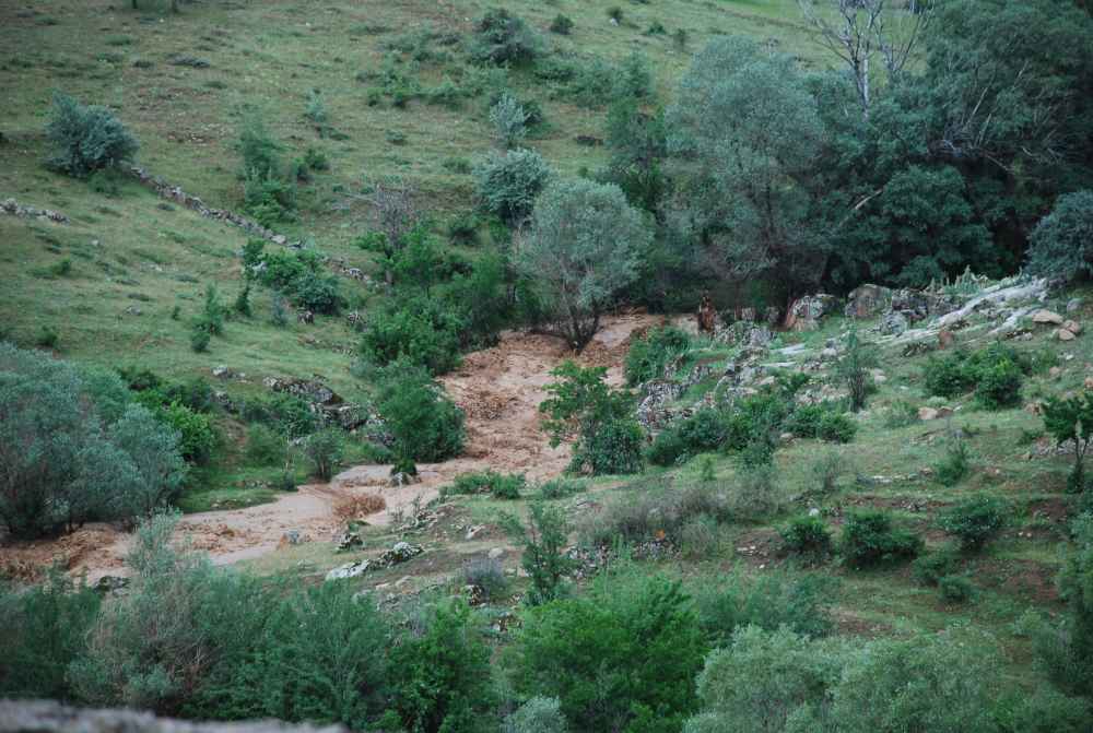
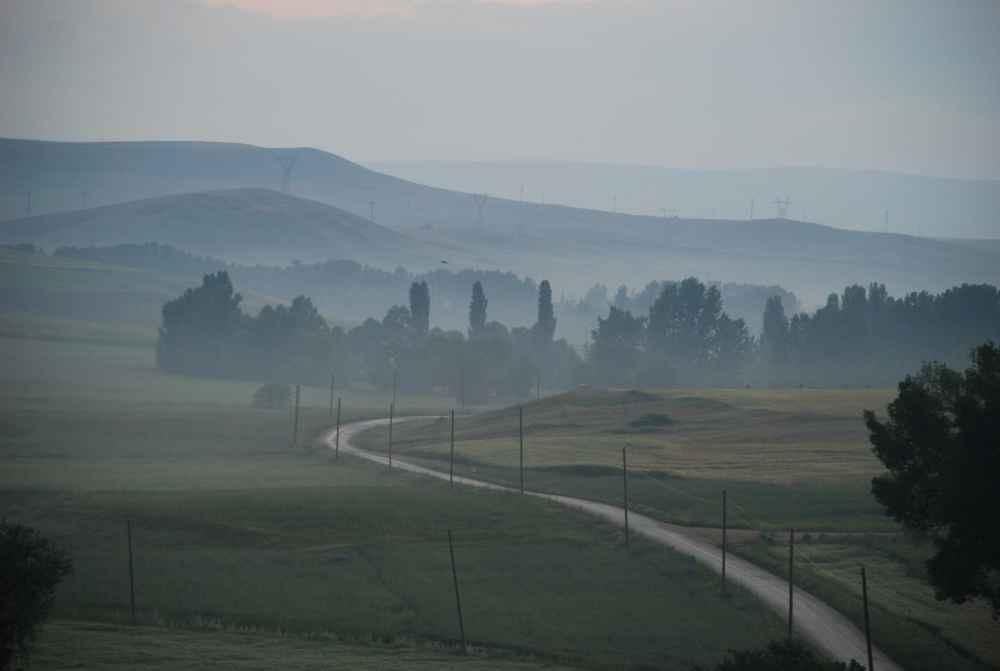
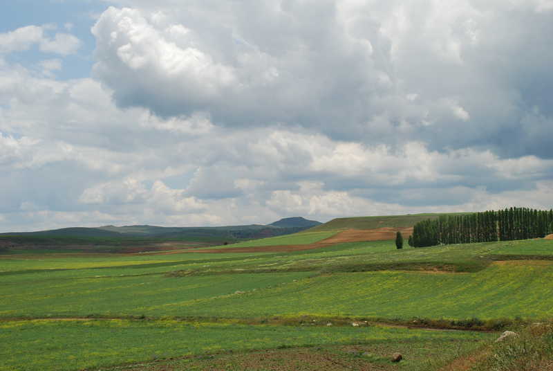
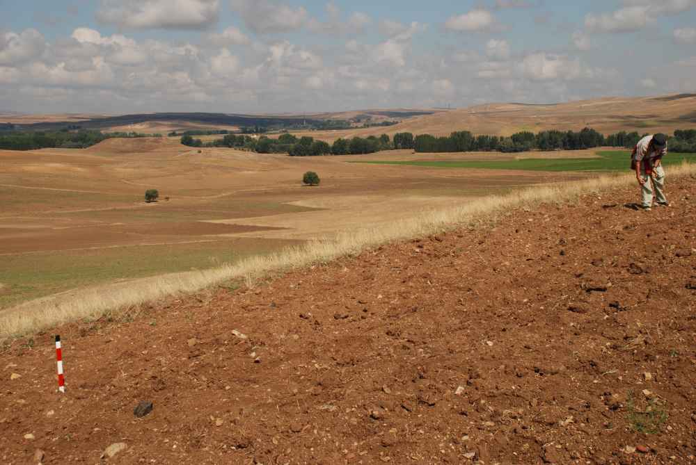
Uşaklı Höyük lies at the heart of central Anatolia, on a plateau bounded by the river Kızılırmak, the classical Halys which, with its long and meandering course, marked the geographic border of the Hittite kingdom. It is a region of mountains, rocks, plains cut through by rivers and gorges, and is rich in springs. The site is on a flat area within a wide bend formed by the river Eğri Öz Dere where it meet the Kötü Dere, in a favourable position for communications between western and eastern Anatolia and for the development of agriculture. From its high acropolis, the gaze falls on a broad horizon: the course of the river towards the east as it winds across the plain whilst, to the south, beyond low hills rise the contours of Kerkenes Dağ with its granite outcrops and, still visible today, the remains of the ring of ancient walls of an immense Phrygian city, founded in the central curve of the mountain and occupied for only two centuries.
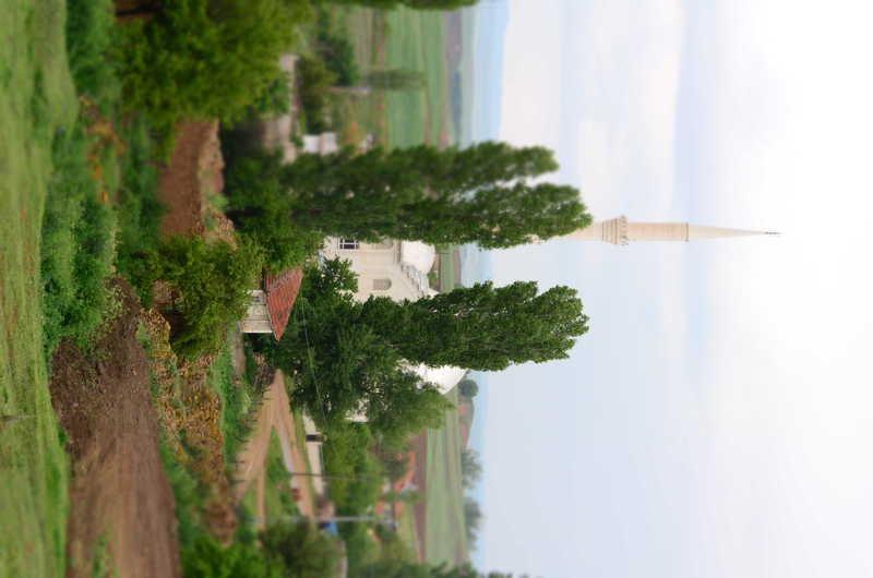
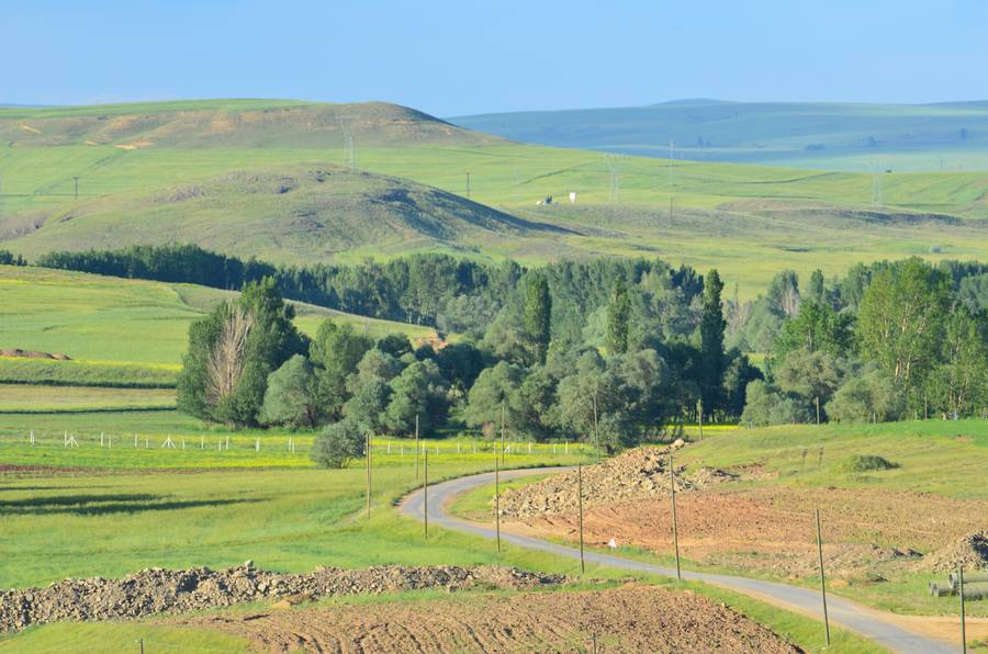
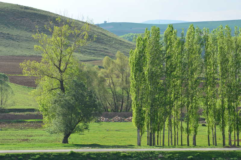
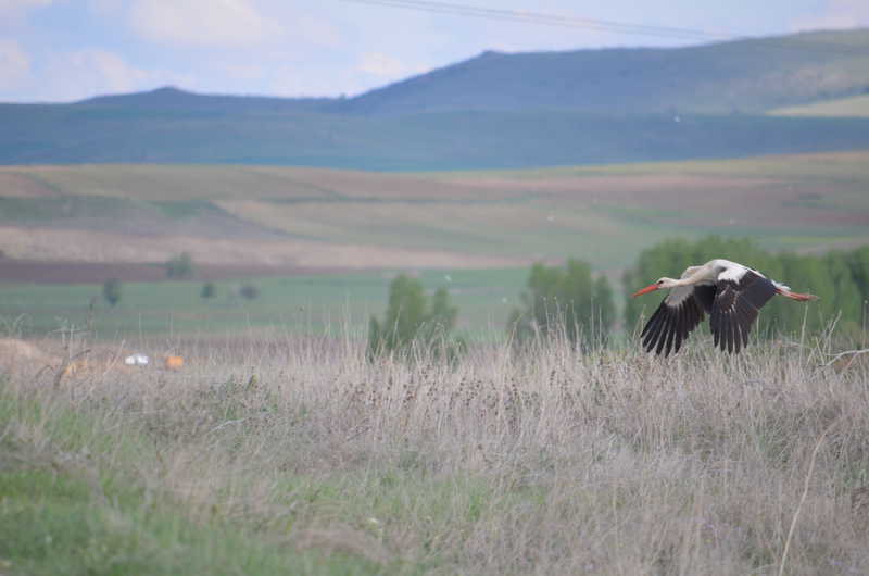
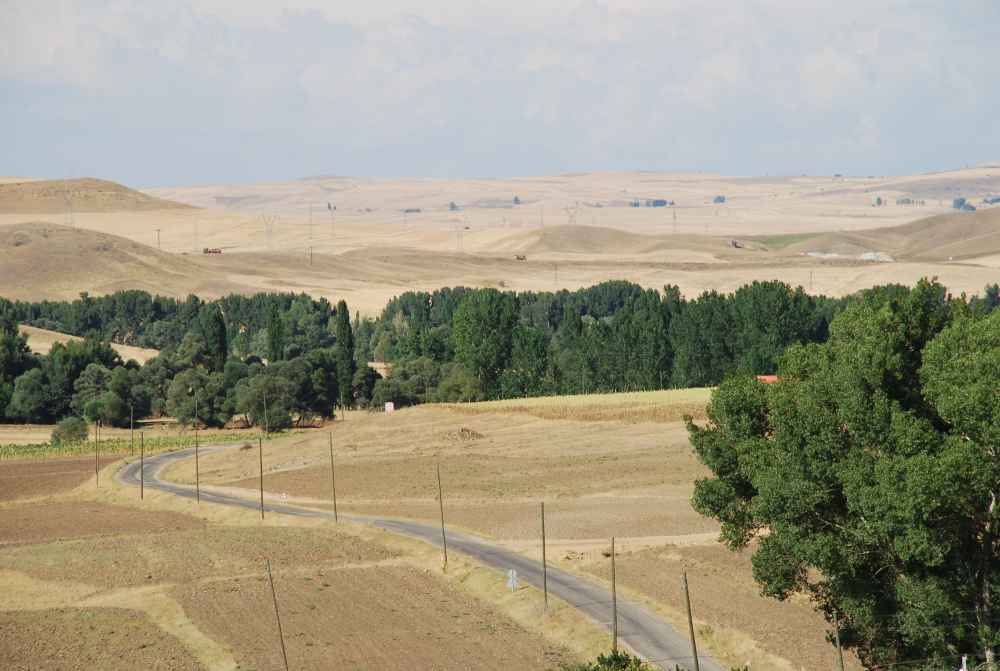
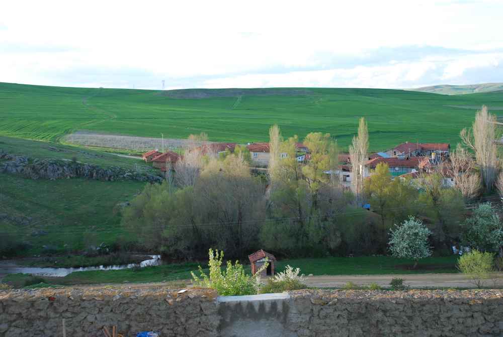
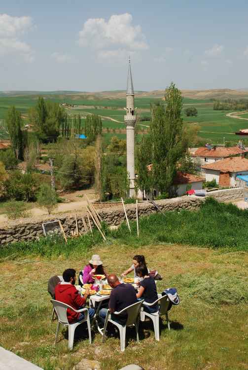
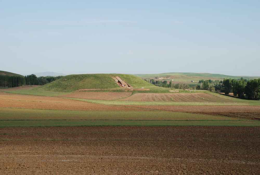
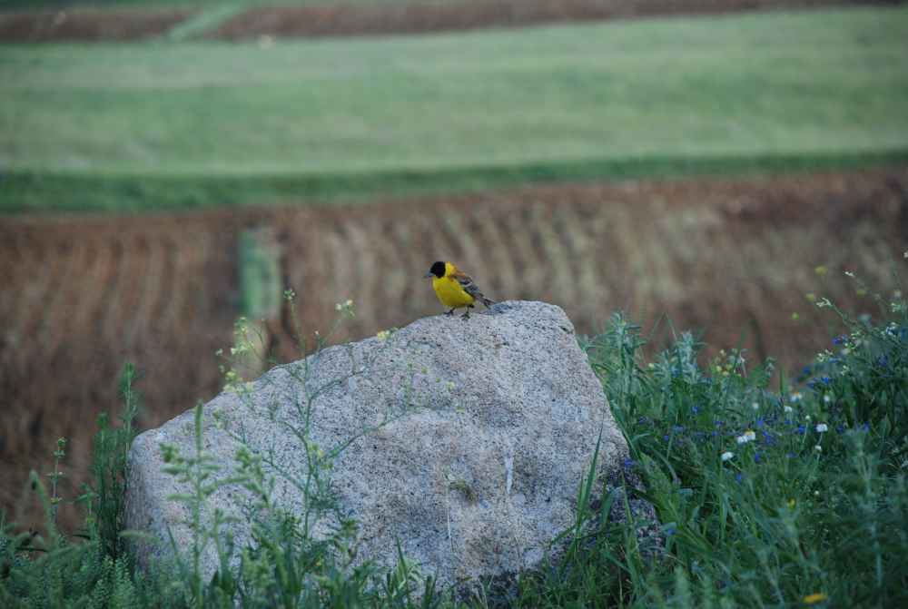
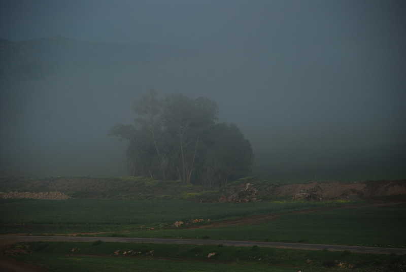
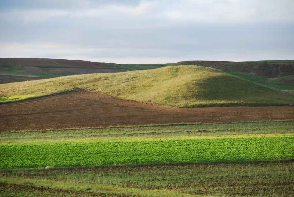
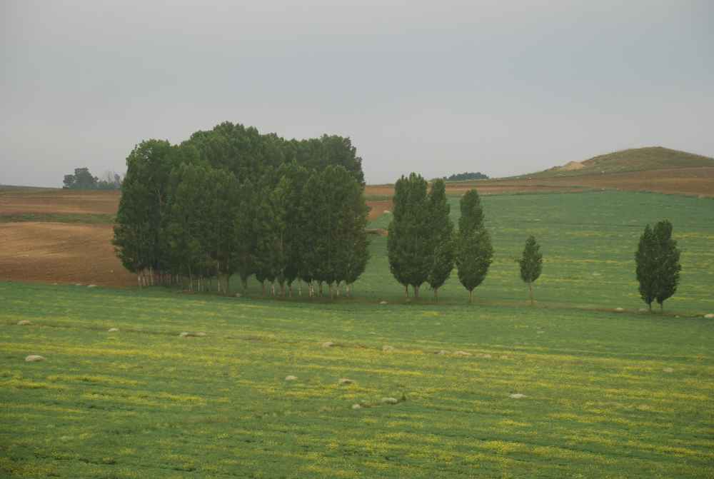
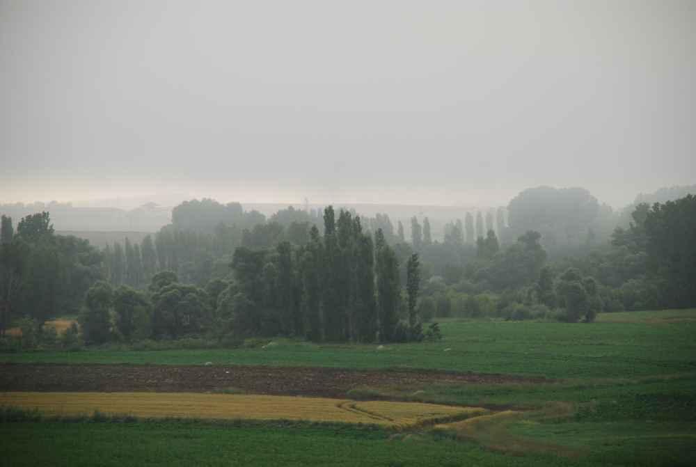
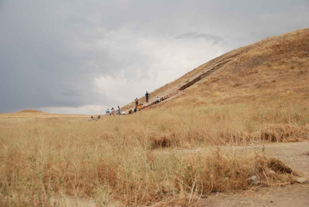
The settlement of Uşaklı , with its acropolis and lower town that drops towards the large surrounding plain, sits in a well-defined space, naturally protected to the north by the two rivers and high hills and, to the south, by an arc of low hills which seem to ring the town like a wall. All around is the gently undulating plain, with groups of trees marking the presence of springs and streams, and the odd conical hill, natural formations like the one just south of the site, or tumuli like that further away on the south western horizon. This is not a region of woods, today at least, but it may have been in antiquity according to some paleo-environmental studies. It is, however, rich in vegetation and, today, intensively cultivated in the flatter areas. The very terrace of the site itself, before excavations began, was planted with in cereals and legumes. On the slopes of the hills, where granite outcrops often occur, the vegetation is far more sparse and H.H. von der Osten, understandably, described it as a high, arid plateau when he crossed the territory between Kerkenes and Uşaklı on horseback in 1926. The continental climate, however, transforms this landscape season after season: covered by a thick covering of snow in winter, it appears ideal pastureland for flocks of sheep and cattle in spring whilst, in summer, is becomes an endless, undulating expanse of yellow. A few scattered villages are found there today, with the odd isolated house on the low hills. Progressive urbanisation of the large towns and cities has, in fact, emptied the countryside. The landscape cannot have been that different in antiquity and surface surveys have, in fact, shown that Uşaklı was settled in a stable manner over a period of three millennia, whilst small villages emerged only during periods of greatest economic and demographic growth, as was undoubtedly the case in the Roman/Byzantine periods.