


Archaeological surface survey
Over the three years of archaeological survey in the area of Uşaklı Höyük a remarkable amount of material has been recovered, mainly pottery, which enables us to provide a rough sketch of the history of settlement in the valley.
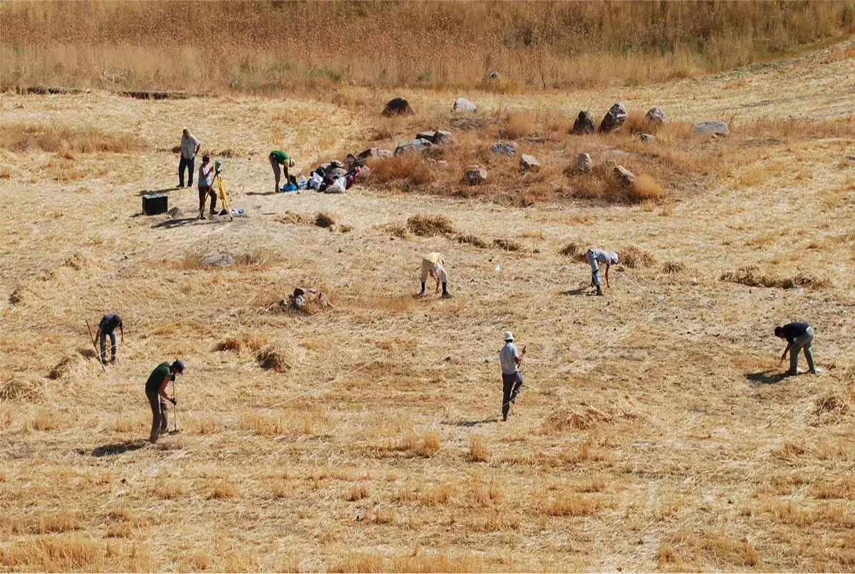
The archaeological survey concentrated mainly on the site of Uşaklı, the largest along the upper course of the Eğri Öz Su, north of Kerkenes Dağ. Following an initial survey, it was decided to concentrate collecting activities on certain sectors of the terrace which immediately appeared promising due to both the high concentration of materials on the surface and the results of the geomagnetic survey which, during three campaigns, had identified large architectonic structures, walls and large buildings.
The systematic collection of materials relating to the main topographic units made it possible to plot the distribution of different categories of finds. The distribution of different classes and types of pottery, but also of other finds such as tiles, proved useful in determining an initial location of the areas with a greater concentration of elements that can be dated, if roughly, to the same period and, consequently, the development and extent of the various phases of settlement on the site..
Intensive collecting was carried out over 39 quadrants measuring 20-20m on the summit of the terrace, and 59 units of varying size and generally trapezoid in shape along the crests of the terrace and the small mound (respectively, 27 and 32 units), the units being adapted to the terrain and the edges of the cultivated fields. Within each unit, all surface artefacts (pottery sherds, lithics, tiles, baked bricks, burnt and almost melted remains) were collected and record on maps.
The survey confirmed the existence of settlement phases dating to the 3rd millennium B.C. (possibly also scattered evidence to be dated to the end of the Late Chalcolithic).
Intensive research conducted in the cultivated fields, pastures, on hills and along the streams around Uşaklı in a radius of roughly 5km furnished little information regarding the existence of satellite settlements for the period between the end of the 3rd and start of the 21st millennia B.C. Within the surveyed area, 19 sites of archaeological interest were identified. With the aim of reconstructing the settlement history of the valley, sites 3 and 9, a couple of kilometres respectively south-west and north-west of Uşaklı, appear to be particularly interesting and relevant not only due to extent of the archaeological deposity and surface scatter of pottery but also because they document phases of occupation that are poorly attested by the materials found at Uşaklı. Site 3 is a small mound on a natural rise which overlooks the narrow gorge in which the village of Taşlık is found. The abundant surface materials date mainly to the Late Chalcolithic and start of the Early Bronze Age. Site 9 is on the summit of a natural rise east of Aşağı Karakaya Köy, and is characterised by a widespread scatter of pottery fragments dating to the late Roman/Byzantine phase.